
The Atlantic setting
The ocean sets the scale.
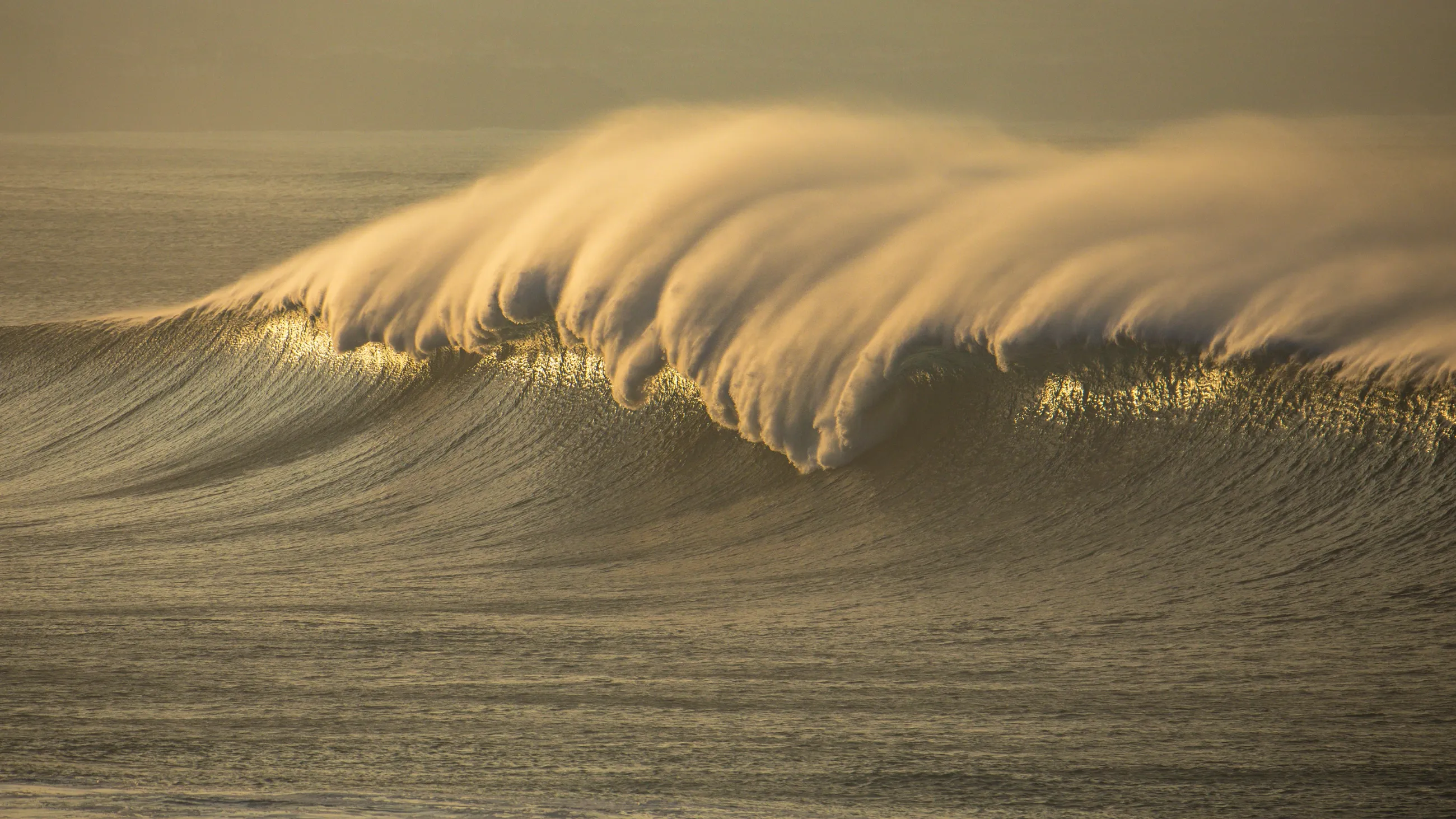
Seen from land, a swell arrives as a line on the horizon. Its story begins much farther away: wind working across open water, waves travelling beyond the weather that made them, then meeting the contours of an island. In the Azores, understanding that journey is part of understanding the surf.
These nine volcanic islands sit in the North Atlantic, exposed to ocean swell yet capable of sheltering one stretch of coast behind another. Research into the archipelago’s wave energy has identified pronounced concentrations near some western island edges. That describes an energetic ocean setting; it does not tell us that every exposed reef produces a rideable wave.
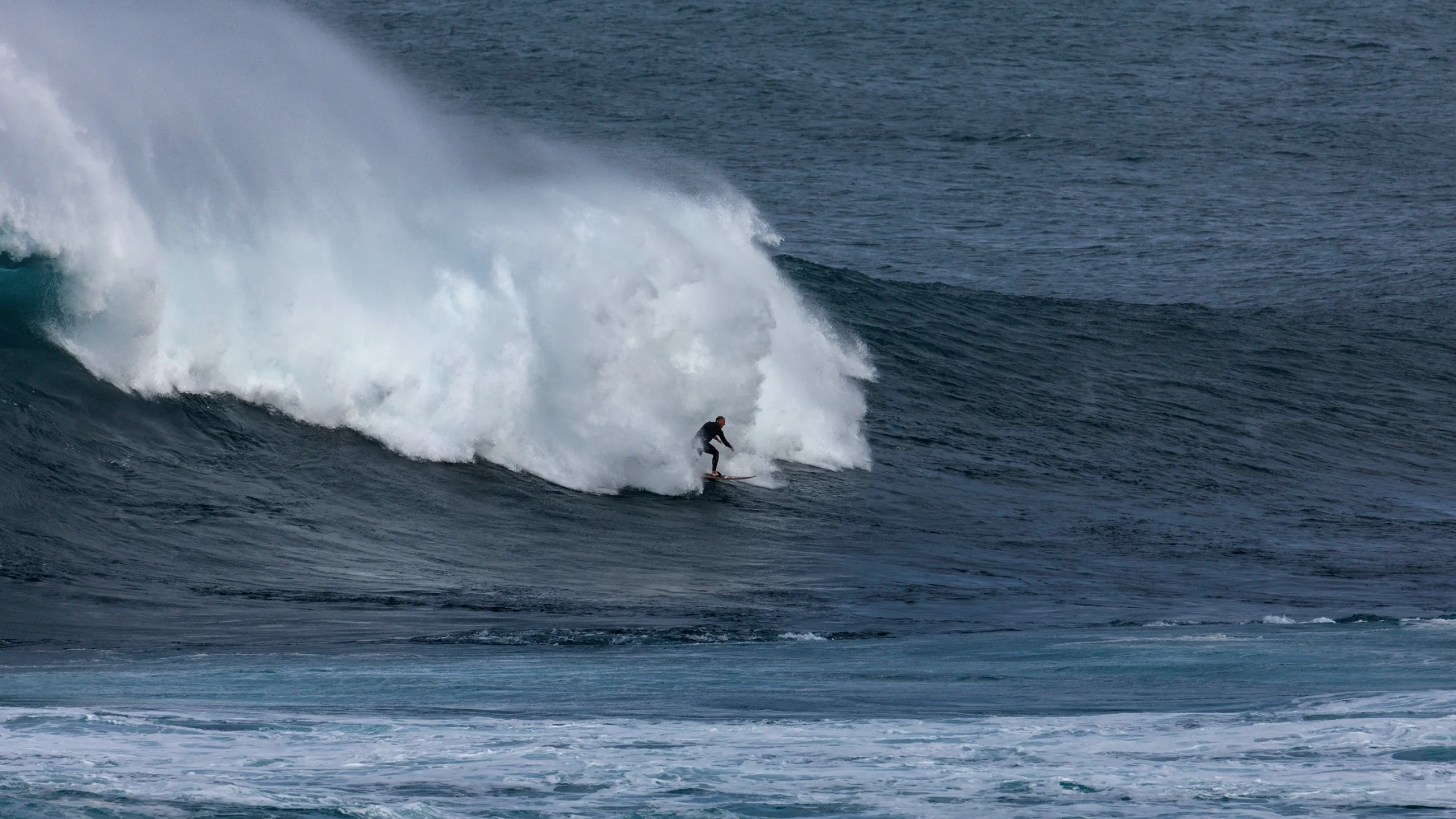
Big-wave surfing belongs within this wider landscape of coast, weather and community. A compelling photograph captures a moment. It cannot show all the observation, judgement and preparation behind it. This guide is an introduction to that context, intended to build understanding. Inexperienced surfers should not attempt the conditions described here.
ReferencesRusu & Guedes Soares · Azores wave energyPonce de León et al. · Island sheltering
01 · Coast & seabed
The shape beneath the surface.
Bathymetry is the shape and depth of the seabed. As waves enter shallower water, their speed, direction and height change through processes including refraction and shoaling. The result depends on the incoming swell as well as the underwater contours. An offshore forecast and a breaking wave at a particular reef describe different things.
The Azorean coast is more varied than a single image of black rock suggests. Studies of the islands’ submerged shelves document the combined influence of volcanism, erosion and sediment. Shelf shape varies even around one island. Shoreline orientation and shelter from neighbouring land further change which swell reaches a break. There is no archipelago-wide formula that turns a large swell into good surf.
ReferencesNOAA · Wave transformationQuartau et al. · Terceira’s insular shelfPonce de León et al. · Island sheltering
02 · Swell & seasons
A season of watching and waiting.
Winter is the main seasonal backdrop to powerful North Atlantic swell. Long-term research in the northeast Atlantic describes larger, longer-period waves in winter and generally smaller, shorter-period waves in summer. Those are regional tendencies, with considerable variation between years, rather than a booking calendar for a particular island or reef.
The Azores High also moves: IPMA describes its usual shift towards the northeast in summer and farther south in winter. The changing positions of high and low pressure influence the weather around the islands. A passing depression can bring wind and rough seas as well as swell; a large forecast does not promise a clean wave or usable access.
For that reason, the useful picture includes swell direction and period, local wind, tides and the evolution of the weather. Read current official forecasts and warnings together with observations on the coast. A seasonal guide cannot establish conditions for today, and a quiet interval between sets cannot establish that the sea is safe.
ReferencesDodet, Bertin & Taborda · North Atlantic wave climateIPMA · Anticiclone dos AçoresMet Office · Beach forecasts explainedAMN · Agitação marítima nos Açores
03 · Understanding size
What makes a wave “big”?
Height matters, but it is a poor description of the whole experience. The shape of the breaking wave, the water beneath it and the consequences of a mistake also matter. Here, big-wave surfing means a specialist pursuit requiring preparation specific to powerful surf. We do not use a single height as a boundary between ordinary surfing and acceptable risk.
Forecast numbers need context too. Significant wave height is approximately the average height of the highest third of waves, measured from trough to crest. It is not the height of every wave, the largest possible set, or a direct measurement of the face at a surf spot. Individual waves can be higher, and the coast transforms the swell before it breaks.
ReferencesIPMA · Glossário meteorológicoMet Office · Beach forecasts explainedBWRAG · Ocean safety education
04 · People & history
An island story, beyond the photograph.
One documented chapter in the islands’ big-wave story is the EDP Mar Sem Fim project. Contemporary reporting and the Portuguese Directorate-General for Maritime Policy’s archive place its Azores exploration programme in 2014. The initial reconnaissance included Joana Andrade, Eric Rebiere, Diogo Medeiros and João de Macedo. This is evidence of an organised project, not a claim that surfing or local knowledge began with it.
The more useful starting point for a visitor is listening. Ask local surfers about the character of a place and respect the judgement of people who know it across changing conditions. Familiarity with another big-wave destination cannot replace that conversation. Equally, someone else being in the water is not confirmation that a session is suitable for you.
ReferencesDGPM · EDP Mar Sem Fim, 2014Lusa / Record · 06.03.2014RNLI · Surfing safety & etiquette
05 · Access & respect
Leave room for the island.
Treat access as something to confirm locally on each visit. Respect closures, signs, private land and instructions from the maritime authorities. Keep roads, working harbours and emergency access clear. Use established paths and take your litter away. An entry in a surf guide is not permission to cross land or launch a boat.
In the water, respect priority and communicate; do not drop in on another surfer’s wave. Give other water users space. On land, watching still requires judgement: the Portuguese maritime authority advises staying away from exposed coastal areas and places reached by breaking waves during heavy seas. Choose your distance from the water according to official advice, not the photograph you hope to take.
ReferencesRNLI · Surfing safety & etiquetteAMN · Agitação marítima nos Açores